
Written by
Lindsay Stefan
Updated on
Ask a local, and they'll tell you fall hikes in Bozeman are the best hikes of the year. The summer crowds thin out, the air turns crisp, and the aspens light up the foothills in shades of gold that only last a few short weeks.
Whether you've got an hour between meetings or a full day to chase alpine lakes, there's a trail here with your name on it. We've rounded up 12 of our favorite fall foliage hikes around Bozeman, from easy in-town loops to big-payoff peak days, plus everything you need to know before you lace up.
Planning to visit Bozeman this fall? Browse our free itineraries and travel guides to start planning your trip.
When to See Fall Colors in Bozeman
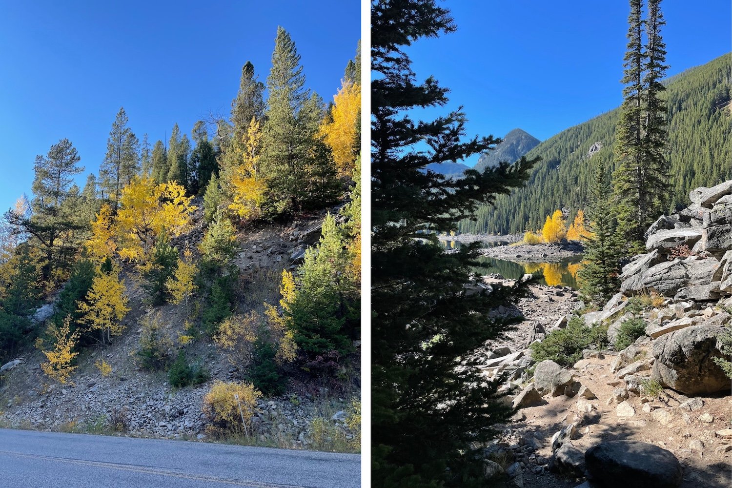
Bozeman's fall color show is short but spectacular. Mountain trails typically hit their peak from late September to early October, while trees down in the valley hang on into mid-to-late October. Aspens and cottonwoods do most of the heavy lifting, turning entire hillsides gold.
The exact timing shifts every year with the weather, but if you're planning a trip around the leaves, the first two weeks of October are usually a safe bet.
Even better, peak color season lines up with some of the best hiking weather of the year. September is typically one of Bozeman's driest months, with warm, sunny afternoons in the high 60s to 70s. By early October, daytime highs usually sit in the mid-60s and slide toward the 50s by the end of the month, while nights dip to near or below freezing.
Most fall days are bright and blue-skied, but clouds become more common as October goes on, and a passing cold front can bring rain in town and snow up high with little warning. One early snowstorm can even end the color season overnight! Keep your plans flexible, and pack for frosty mornings, T-shirt afternoons, and everything in between.
Easy Fall Hikes in Bozeman (Right in Town)
You don't have to go far to find fall color. These three trails are just minutes from downtown, so you can squeeze in some fall color between brunch and a brewery stop.
Peets Hill (Burke Park)
Distance: Up to 3.2 miles of trail
Difficulty: Easy to moderate
Drive from downtown: 5 minutes (or walk!)
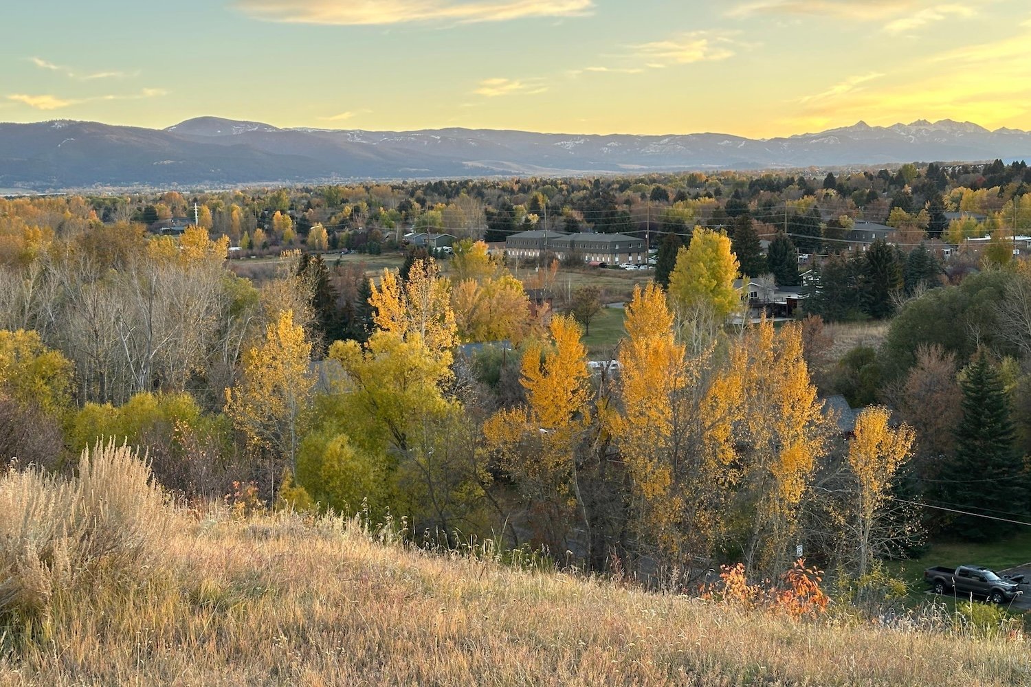
Just blocks from Main Street, Peets Hill is one short climb to a panoramic jackpot: the Bridger Mountains, downtown Bozeman, and the whole Gallatin Valley spread out below you. Locals swear it has the best sunset view in town, and fall evenings prove them right.
At the top, look for the Mountain Range Finder and Medicine Wheel, which labels the surrounding peaks and honors the region's Indigenous history. Dogs can run off-leash in most of the park. Park at Church Avenue and East Story Street, or at the upper lot on Josephine Drive.
Cherry River Recreation Area Loop
Distance: About 1.3 miles
Difficulty: Easy
Drive from downtown: 10 minutes
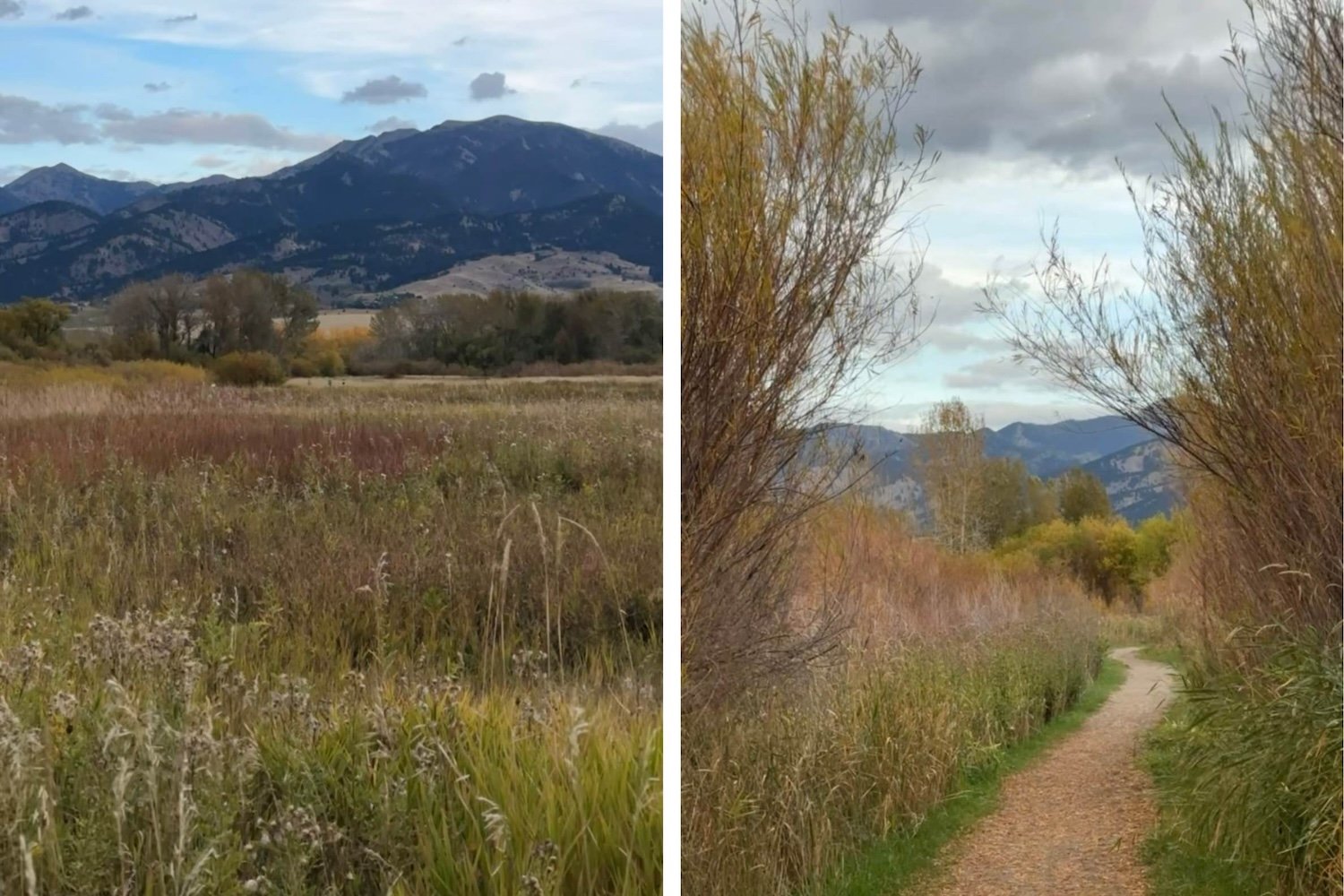
If you want maximum views for minimum effort, Cherry River is a flat, breezy gravel loop where your biggest challenge is deciding which mountain range to look at first. The trail circles two ponds along the East Gallatin River, with unobstructed views of the Bridger Range and plenty of birds resting in the cattails.
Park off Frontage Road between 7th Avenue and Reeves Road (there's a restroom at the lot). Keep dogs leashed for the waterfowl, and expect some mud on wet fall days.
Tuckerman Park
Distance: Variable (up to a 3.3-mile loop)
Difficulty: Easy
Drive from downtown: 10 minutes
Tuckerman Park is one of the easiest ways to catch fall color without leaving town. The Sourdough Trail runs right through it, so you can choose between a sunny stroll across the meadow or a shaded streamside path framed by aspen stands.
Go as short as you like, or link up a 3.3-mile loop from the Goldenstein trailhead through Tuckerman and McLeod Parks. Big color payoff, small time commitment.
Easy to Moderate Fall Hikes Near Bozeman
Ready to get a little farther out of town? These trails are where Bozeman's fall colors really put on a show.
Grotto Falls
Distance: 2.5 miles out-and-back
Elevation gain: 278 ft.
Drive from downtown: About 40 minutes
Here's a fall hike where the drive is half the fun. The road up Hyalite Canyon is lined with aspens in early fall, so it's a show before you even lace up.
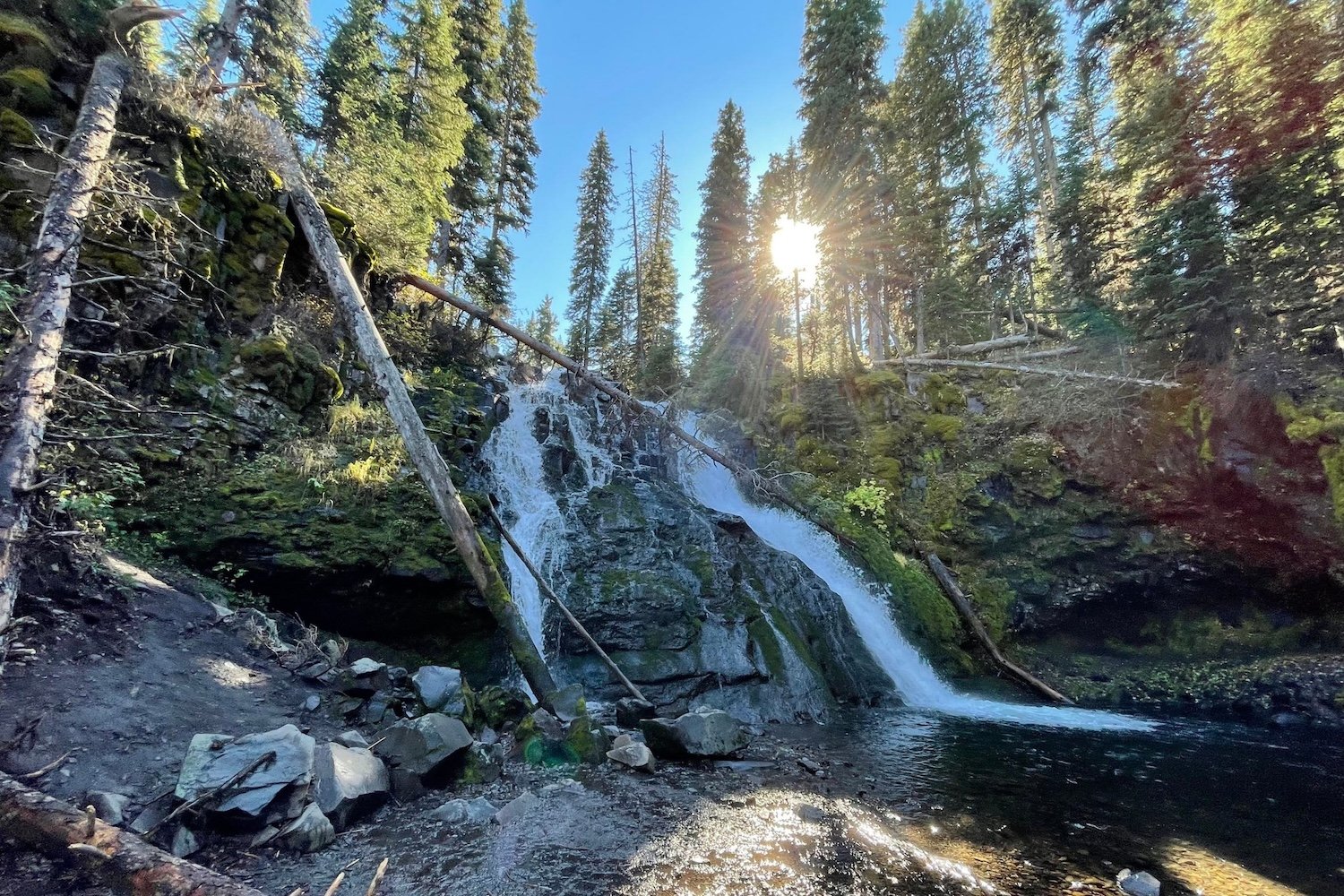
The Grotto Falls Trail follows Hyalite Creek on a wide, gentle, wheelchair-accessible path to a waterfall pouring into a deep pool. It's a great pick for families, and there's a picnic table just before the falls. Want more? Keep going up the Hyalite Creek Trail to string together even more waterfalls.
Palisade Falls
Distance: 1.1 miles out-and-back
Elevation gain: 249 ft.
Drive from downtown: About 45 minutes
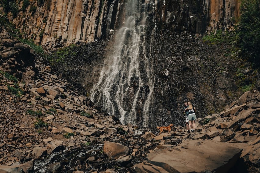
Just up the canyon from Grotto Falls, Palisade Falls is the easiest waterfall payoff in Hyalite. A fully paved, wheelchair- and stroller-accessible path leads about half a mile to an 80-foot waterfall that pours off a wall of volcanic basalt columns.
It's short enough to pair with Grotto Falls for a double-waterfall morning, with plenty of time left over to cruise the canyon road and soak up the color. The trailhead sits up the East Fork Hyalite Road and fills up fast, so get there early.
Sourdough Canyon (Bozeman Creek Trail)
Distance: Up to about 9.4 miles out-and-back
Elevation gain: About 800 ft. for the full route
Drive from downtown: About 15 minutes
Close to town and easy to love, Sourdough Canyon follows Bozeman Creek on a wide, gentle old logging road. It's mostly shaded, with steady creek access along the way, and it's one of our favorite spots to catch the trees turning without committing to a big climb.
The grade is easy enough that you can turn around whenever you like, so it works for a quick out-and-back or a longer afternoon. You'll share the trail with plenty of locals, runners, and mountain bikers. Park at the gated trailhead at the end of Sourdough Canyon Road.
South Cottonwood Creek
Distance: 4–12 miles round trip
Elevation gain: 300–900 ft.
Drive from downtown: About 30 minutes
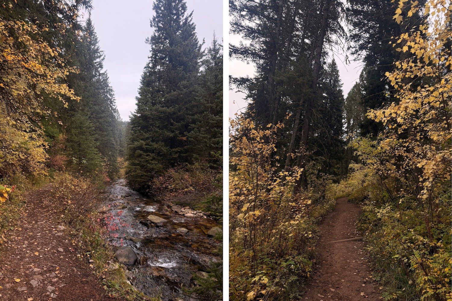
South Cottonwood is a choose-your-own-adventure creekside trail in the foothills of the Gallatin Range, and it's a local pick for fall color near Bozeman. The trail follows South Cottonwood Creek through dense forest and open meadows, crossing the creek on a series of bridges.
Most hikers turn around at the third bridge, which keeps the climb under 500 feet, but you can keep going as far as your legs (and daylight) allow. To get there, take Huffine Lane west, turn left on Cottonwood Road for about 7 miles, then left on Cottonwood Canyon Road for about 2 miles to the trailhead.
Triple Tree Trail
Distance: 5.4-mile loop
Elevation gain: About 950 ft.
Drive from downtown: 12 minutes
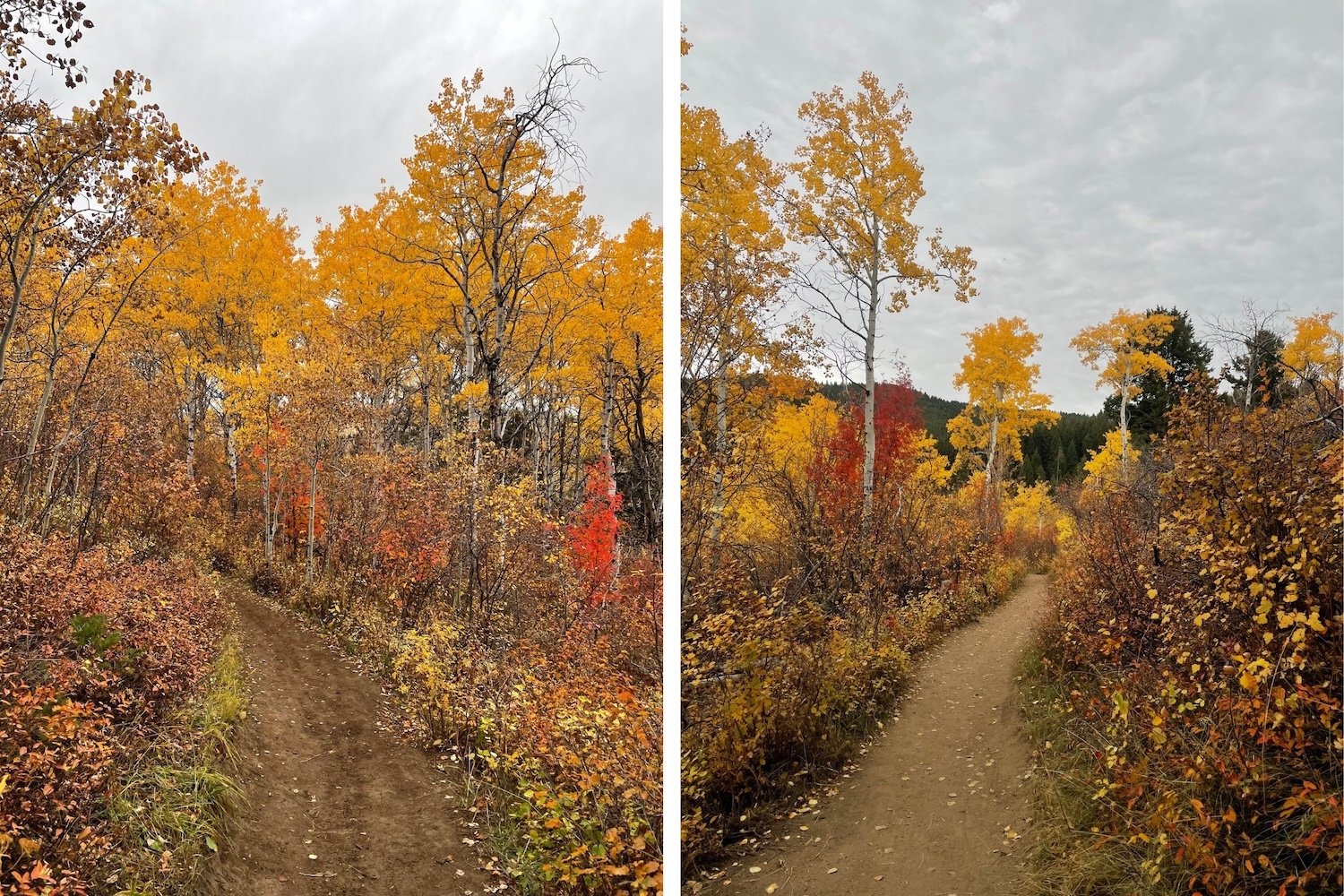
If you only do one fall hike in Bozeman, make it this one. Triple Tree Trail is a local favorite on the south end of town, and it's arguably the best place close to Bozeman to walk through a grove of golden aspens.
The first half of the loop winds through aspens and across Limestone Creek, then opens up to sweeping views across the Gallatin Valley toward the Tobacco Root Mountains. Hike it counterclockwise (go right at the start) for a gentler climb, and grab a seat on one of the two benches at the top. Park at the Sourdough Road lot and keep dogs on leash. Moose and bears frequent the area, so bring bear spray.
New World Gulch
Distance: About 4 miles round trip to the meadow (11 miles to Mystic Lake)
Elevation gain: Varies by destination
Drive from downtown: About 20 minutes
New World Gulch packs a lot of variety into a short hike. The trail climbs through a lush, stream-fed gulch on the east slope of Mount Ellis, winding through heavily wooded forest before opening up into a meadow. That mix of creekside greenery and forest makes it a great place to take in fall colors.
Pack a snack, enjoy it in the meadow, and head back down. Feeling ambitious? Keep going over the divide to Mystic Lake for a full-day, 11-mile round trip. To get there, take I-90 east to the Bear Canyon exit, then follow Bear Canyon Road a little over 3 miles to the trailhead. Elk, deer, and moose call this drainage home, so carry bear spray and give wildlife plenty of room.
Lava Lake
Distance: 5.2 miles out-and-back
Elevation gain: About 1,600 ft.
Drive from downtown: About 45 minutes
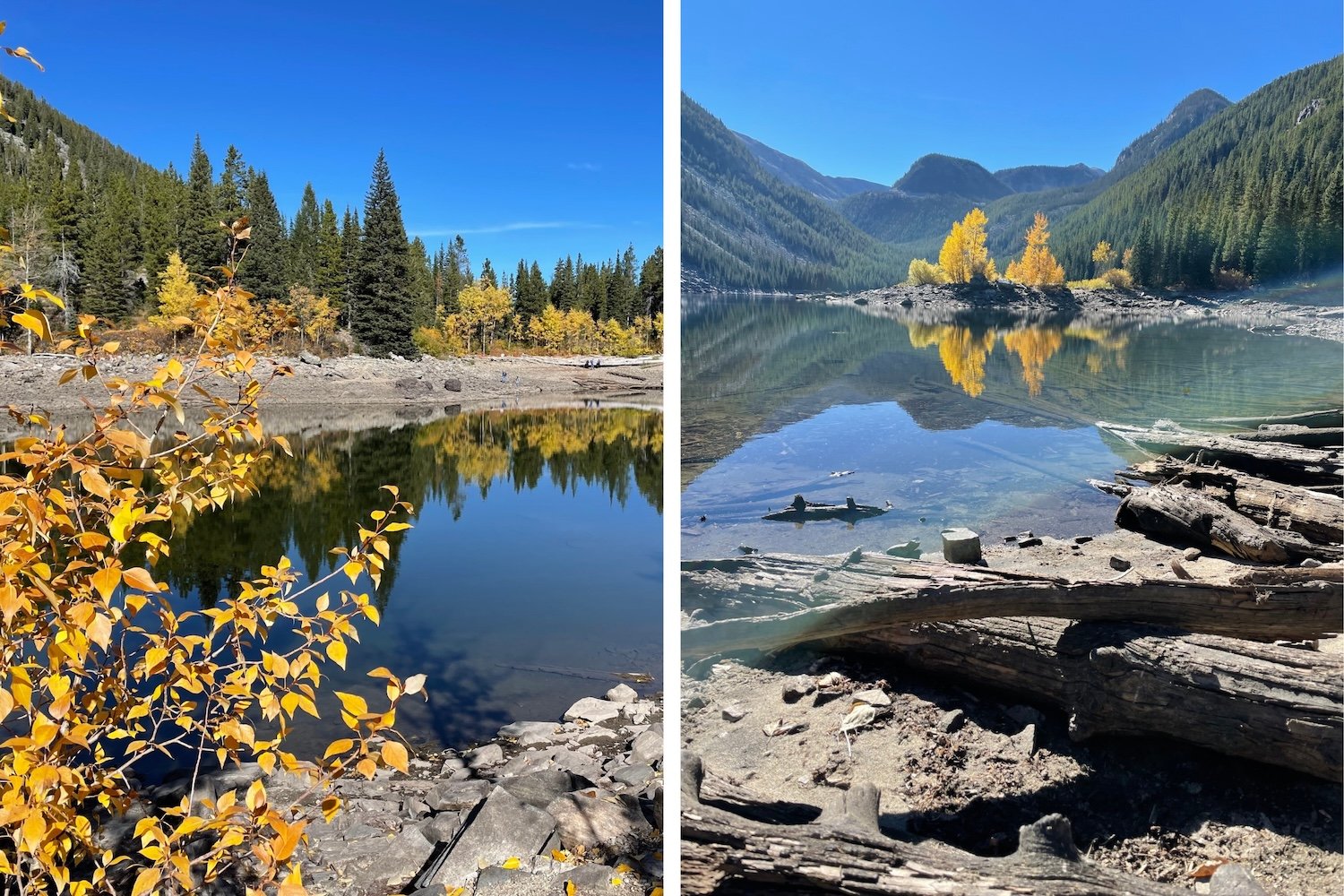
Lava Lake is a classic Gallatin Canyon hike that saves its best scenery for the very end. The trail starts along US-191 in Gallatin Canyon and climbs steadily beside Cascade Creek into the Lee Metcalf Wilderness. It's rocky and relentless in spots, but your reward is waiting at the top: a big alpine lake ringed by peaks, with fall color as your prize for the climb.
The trailhead lot fills up fast, even in fall, so start early. Combine it with a scenic drive through the canyon to Big Sky for a full fall day.
Hard Fall Hikes in Bozeman (Big Views, Big Payoff)
These hikes ask a lot of your legs, but they deliver some of the most unforgettable fall views in Southwest Montana. For more summit ideas, check out the best peaks with views near Bozeman.

Sacagawea Peak
Distance: 4.7 miles out-and-back
Elevation gain: About 2,000 ft.
Drive from downtown: About 1 hour
Steep, high, and unforgettable. Sacagawea Peak is the tallest summit in the Bridger Range, and almost 2,000 feet of climbing from Fairy Lake gets you views (and maybe a mountain goat or two) that make the burn worth it. The drive up Bridger Canyon is a fall foliage tour all on its own.
Good news for fall 2026: Fairy Lake Road reopened in late summer after a major improvement project added fresh gravel and better drainage. It's still a mountain road, so a vehicle with good clearance is a smart call. The summit sits above 9,500 feet, where snow can show up early, so check conditions before you go and turn around if the weather turns.
Emerald and Heather Lakes
Distance: 11.4 miles out-and-back
Elevation gain: About 2,200 ft.
Drive from downtown: About 45 minutes
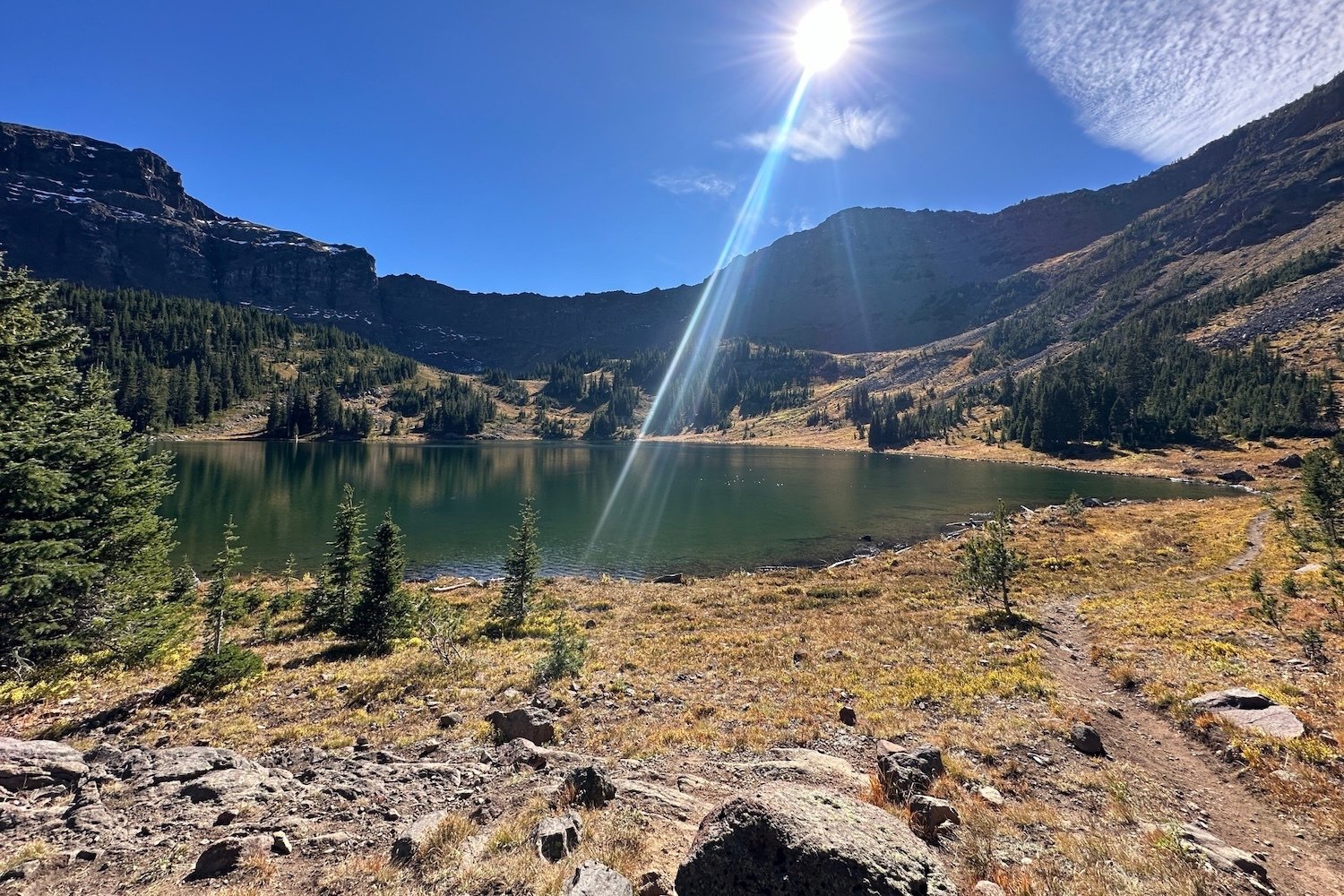
Why settle for one stunning lake when you can have two? The Emerald Lake and Heather Lake Trail starts at the end of the East Fork Hyalite Road, past Palisade Falls, and climbs through forest before opening into high alpine meadows that turn golden in fall.
Emerald Lake appears about five miles in, with Heather Lake another half mile up. It's a full-day commitment, so start early to make the most of shorter fall days.
Know Before You Go: Fall Hiking Tips
Fall in Montana is gorgeous, but it's also unpredictable. A few tips to keep your hike safe and fun:
- Wear bright colors: Fall hiking season overlaps with Montana's hunting seasons. In 2026, deer and elk archery season runs through October 18, and general rifle season runs October 24 through November 29. Blaze orange or another bright layer is a smart move, especially on more remote national forest trails.
- Carry bear spray: Bears are actively feeding before winter, and every trail outside of town is bear country.
- Pack layers: Mornings can be frosty and afternoons warm, and fall weather in Bozeman can turn quickly. Higher trails may see snow by mid-October.
- Watch the clock: Days are getting shorter fast. In Bozeman, the sun sets around 7 p.m. in early October, closer to 6:15 p.m. by Halloween, and then drops to around 5 p.m. once daylight saving time ends on November 1. Canyon trails lose light even sooner, so start longer hikes early and carry a headlamp.
- Check conditions: Cell service fades in the canyons, so download an offline map and check the Custer Gallatin National Forest site for road and trail alerts before you head out.
Plan Your Fall Hiking Trip to Bozeman
From a 20-minute sunset stroll up Peets Hill to a full day among alpine lakes, fall hikes in Bozeman prove the best season for hiking might just be the one after summer. Cap off a day on the trail with a soak at one of the hot springs near Bozeman, and you've got the perfect fall day.
When you're ready to plan your trip, browse where to stay in Bozeman and find more trails on our hiking page. Then map out the rest of your visit with our 3-day fall itinerary or download our free Bozeman Travel Guide for local tips, maps, and more.

If you enjoyed this blog, take a look at some of our other related articles:


